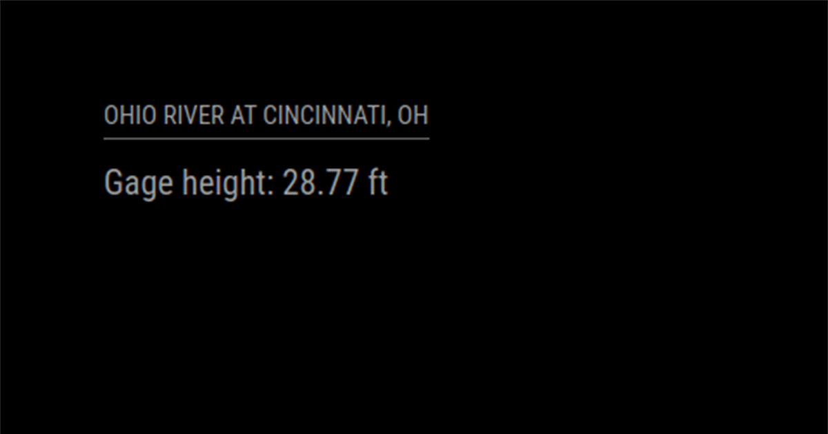
The Cambridge Dictionary defines mudlarking as “the activity of searching the mud near rivers trying to find valuable or interesting objects.” This happens to be a hobby of mine, so I decided to develop a MagicMirror² module using Node.js to help me decide when conditions are ideal for it. The module uses REST API calls to the U.S. Geological Survey’s Instantaneous Values Service to fetch and display real-time water data for the user’s location. Users can monitor measurements such as water level and flow rate for rivers, streams, and other bodies of water across the United States.
MMM-Streamflow Module
